© OpenStreetMap contributors © OpenMapTiles
Build with the APIs
Tiles, styles, geocoding, routing and truck compliance behind one key, issued card-free. Your agents can find it, price it and use it without a human in the loop.
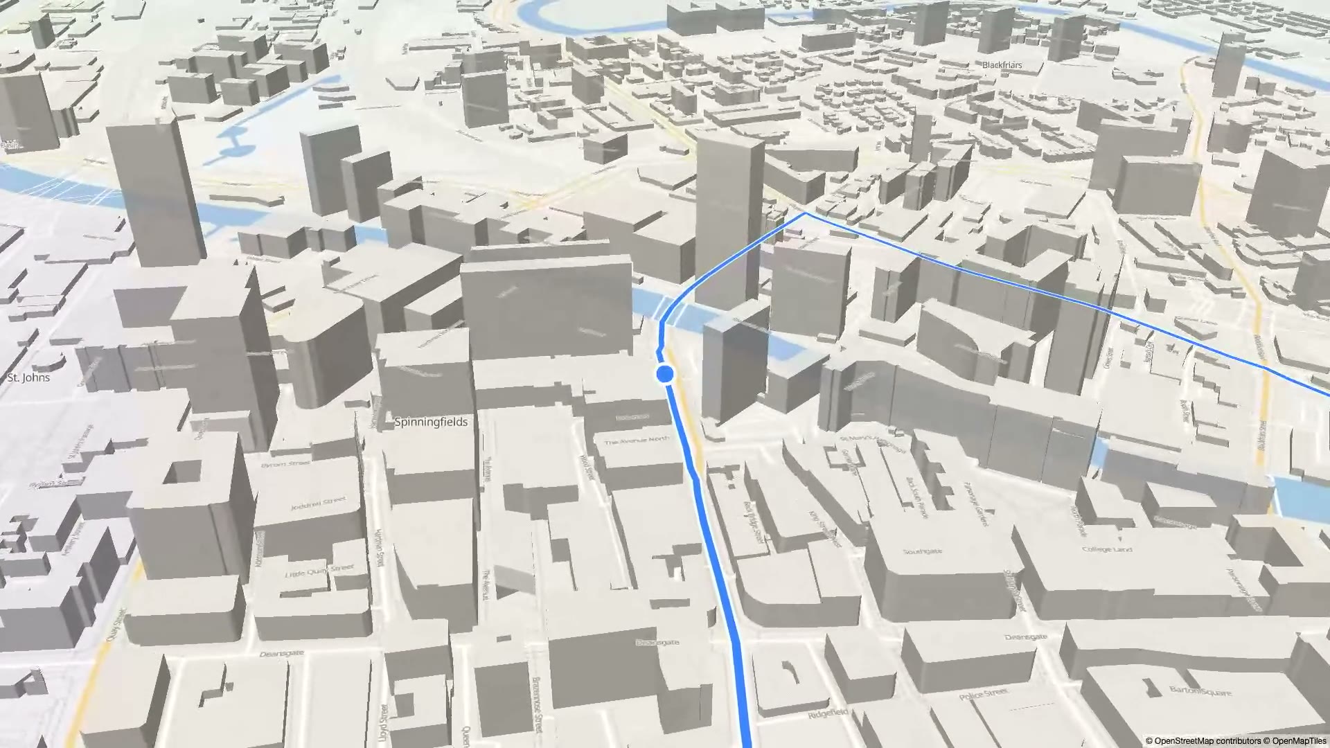
Tiles, styling, geocoding, routing and turn-by-turn guidance. Hosted, or fully offline on your own servers.
© OpenStreetMap contributors © OpenMapTiles
© OpenStreetMap contributors © OpenMapTiles
Tiles, styles, geocoding, routing and truck compliance behind one key, issued card-free. Your agents can find it, price it and use it without a human in the loop.
© OpenStreetMap contributors © OpenMapTiles
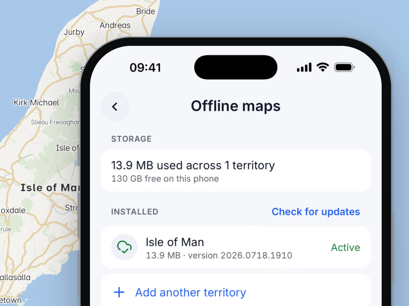
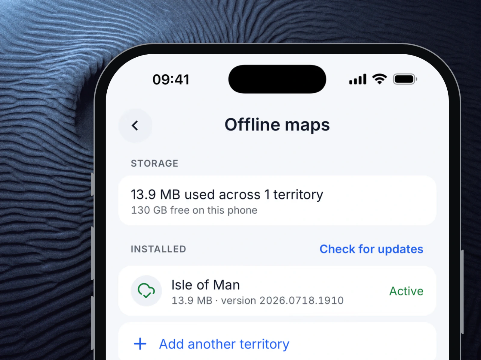
The same stack on your own servers, and fully offline on your own devices. Signed territory packages, no call home, and a licence rather than a meter.
© OpenStreetMap contributors © OpenMapTiles
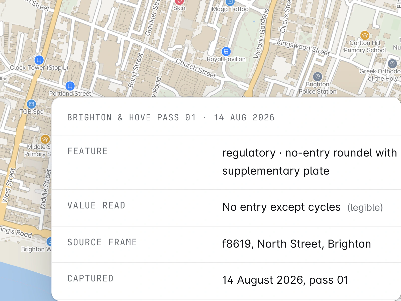
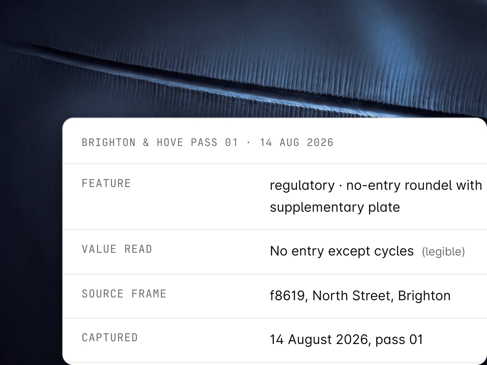
We drive the streets you name and hand back a positioned inventory with the photograph behind every value, or stand your own survey up as a viewer on your domain.
The whole stack boots from one Compose file inside your network: gateway, routing engine, geocoder and MCP server. An SBOM ships with every release. If we disappeared tomorrow, your maps would still work.
ADR tunnel enforcement requires the MapMap Valhalla image, which the self-host distro does not yet ship by default.
Self-host guide$cd distro && docker compose up -d --build
→gateway · routing engine · geocoder · MCP server
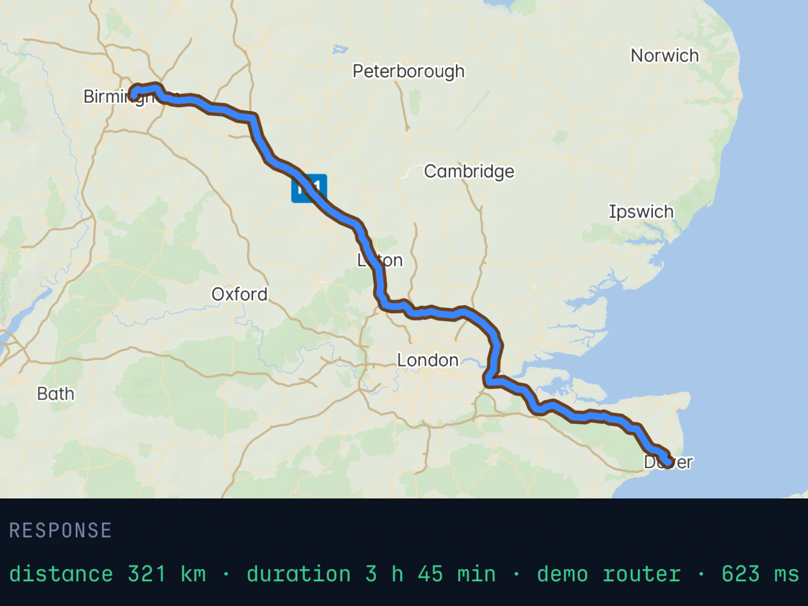
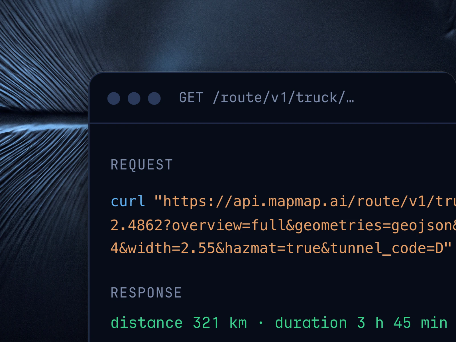
Truck routing with ADR dangerous-goods restrictions, enforced in the costing, not post-filtered.
Read how it works© OpenStreetMap contributors © OpenMapTiles
llms.txt on every deployment, machine-readable pricing, one-call card-free key issuance and an MCP server. Nothing gated behind a sales call.
Read the agents guide$curl -s mapmap.ai/llms.txt # discover
→endpoints, auth, pricing, mcp
$curl -s mapmap.ai/pricing.json # evaluate
→{ free: "50k calls/mo", payg: "0.05p std · 1p truck" }
$POST /v1/keys # one call, card-free
→snk_… issued · provisional · 1,000 calls / 72 h
$GET /route/v1/truck/…?height=4.0&tunnel_code=D # act
→London to Birmingham, 189 km · restrictions respected · ADR code D
One pass of our rig records 360 imagery, lidar and GNSS. You get a positioned inventory with the photograph behind every value, and UK sensor data to evaluate against.
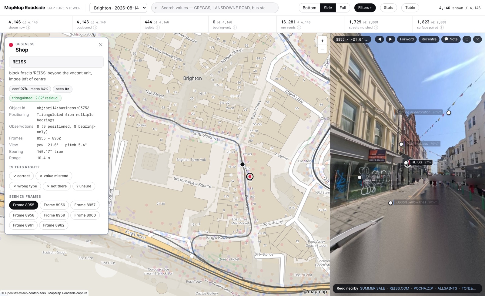
Signs, markings, nameplates, kerbs and shopfronts on the streets you commission, each linked to the frame it was read from.
The public Brighton extract has 4,146 positioned features and 2,008 blurred photographs, with every evidence link working.
Lidar, 360 cameras and GNSS from one drive, packed as a dataset and georeferenced to our own map.
One pass became a 4.6 million Gaussian splat of a UK street. Its lidar rays land a median 0.67 mm from our 3 cm map.
Your survey or ours, in the same capture viewer we deliver, with faces and number plates obscured before anything is shared.
The public Brighton kilometre runs in that viewer today. Click a feature to open the frame it was read from.