Plan the day. Route the day. Own the map.
One call turns an itinerary of names into a single navigable multi-stop route with per-stop arrival times. Along-route search prices every detour in minutes, not vibes.
The itinerary is the product. Route it in one call.
Travel apps rebuild the same plumbing: geocode the names, order the stops, route the day. That is one tool here.
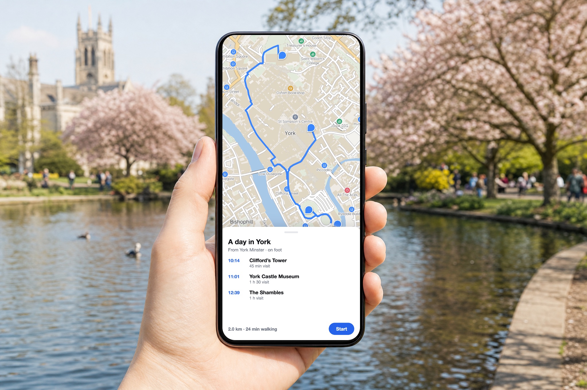
A day of names becomes one route
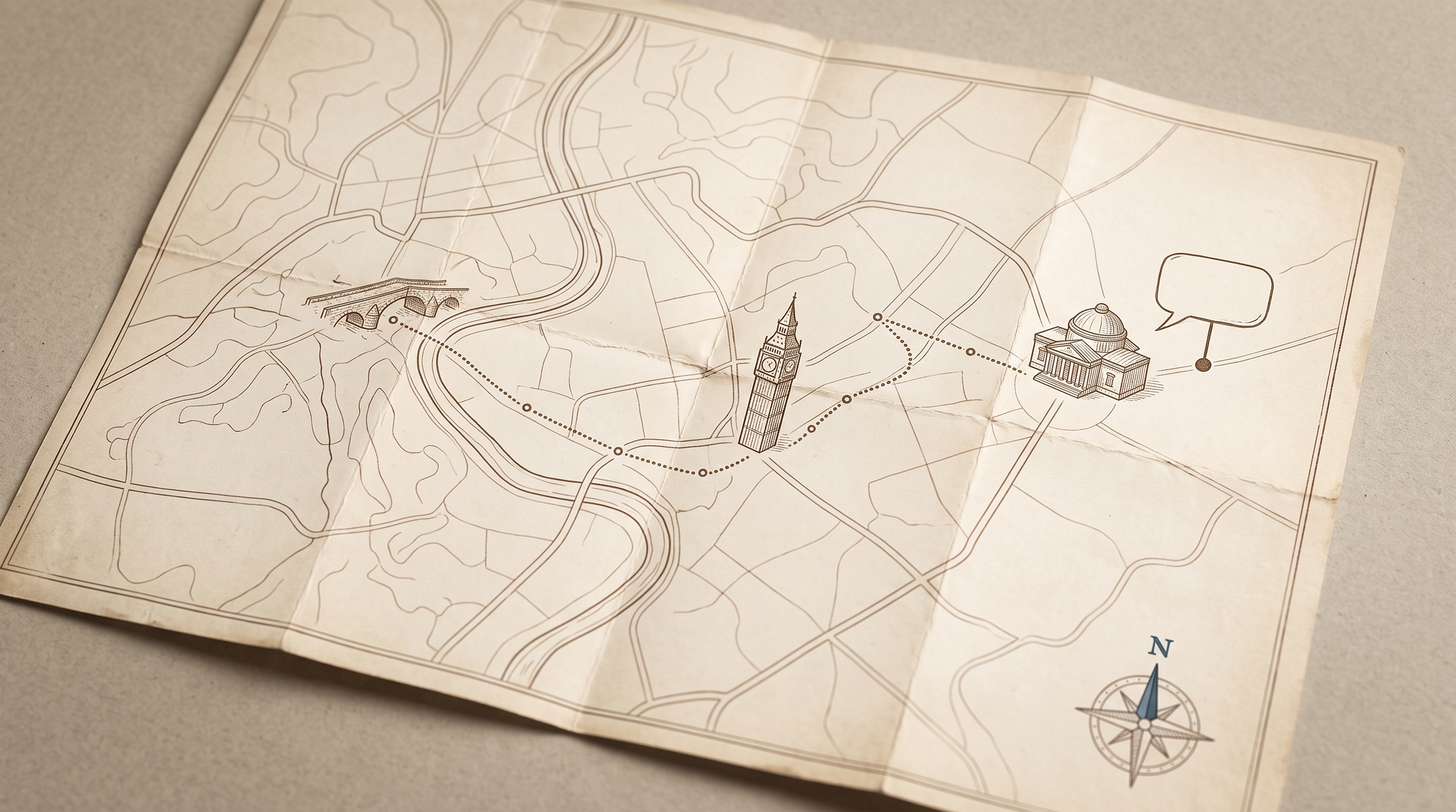
The plan-day tool turns an itinerary of names or coordinates with dwell times into one navigable multi-stop route with per-leg durations and arrival times, optionally reordered for efficiency.
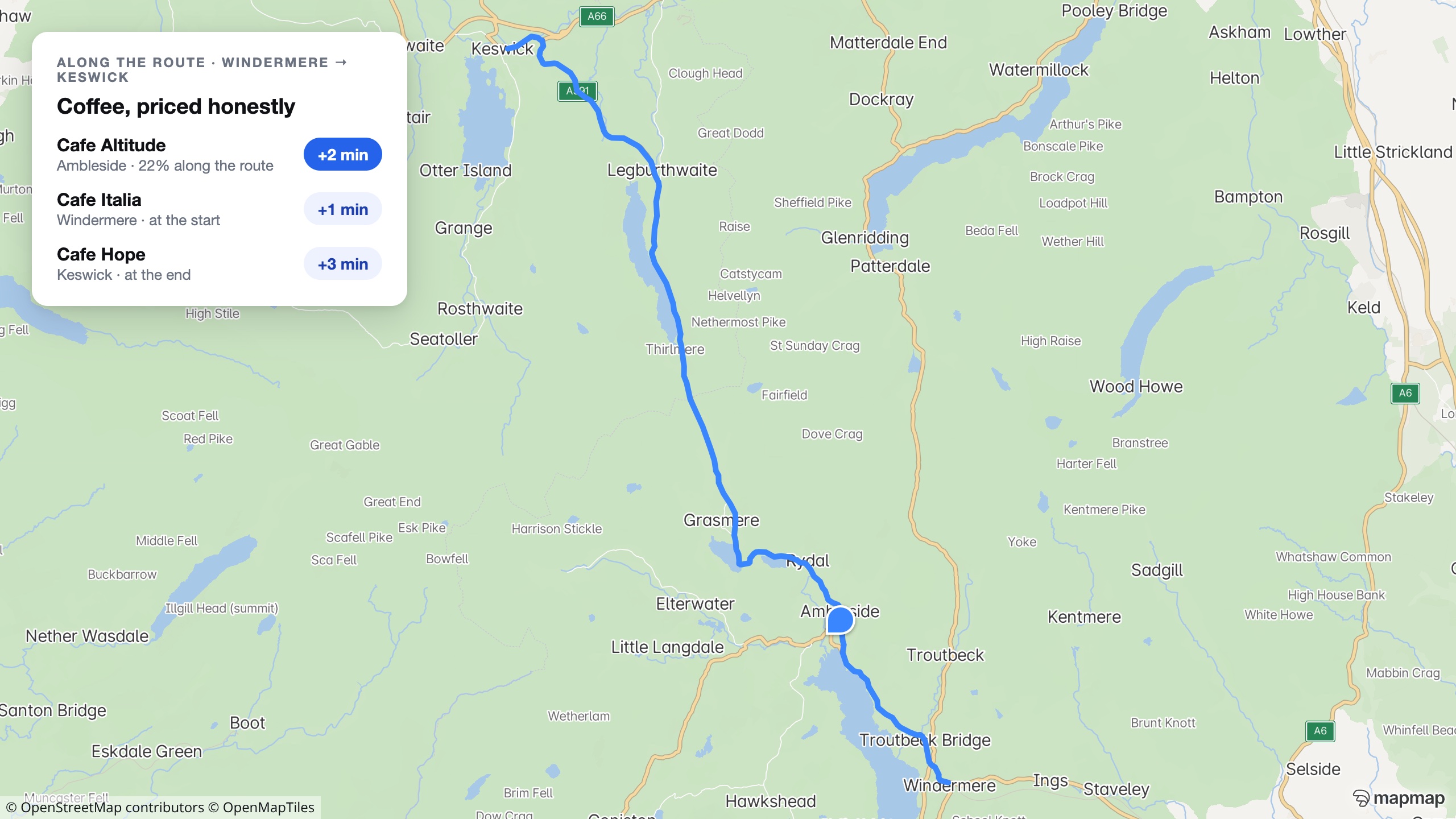
“Coffee, adds two minutes”
Search along a route returns places with their real engine-computed detour cost. On Windermere to Keswick, Cafe Altitude really does cost two minutes.
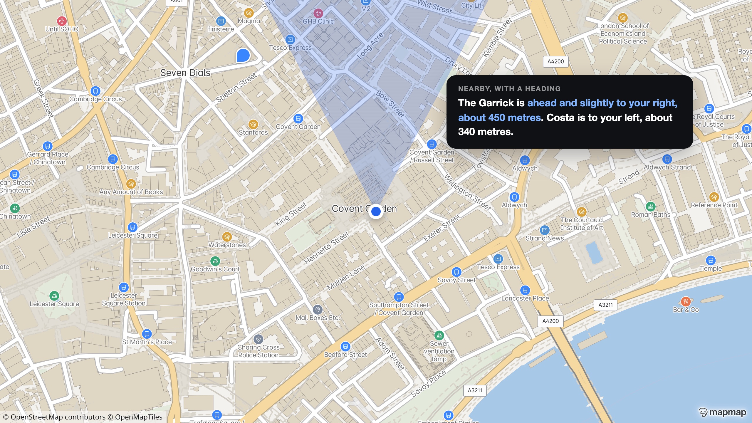
Directions phrased from where you stand
Pass a heading and every nearby-place answer comes back egocentric. This is a real API response for a walker facing north-east in Covent Garden.
Try the copilot →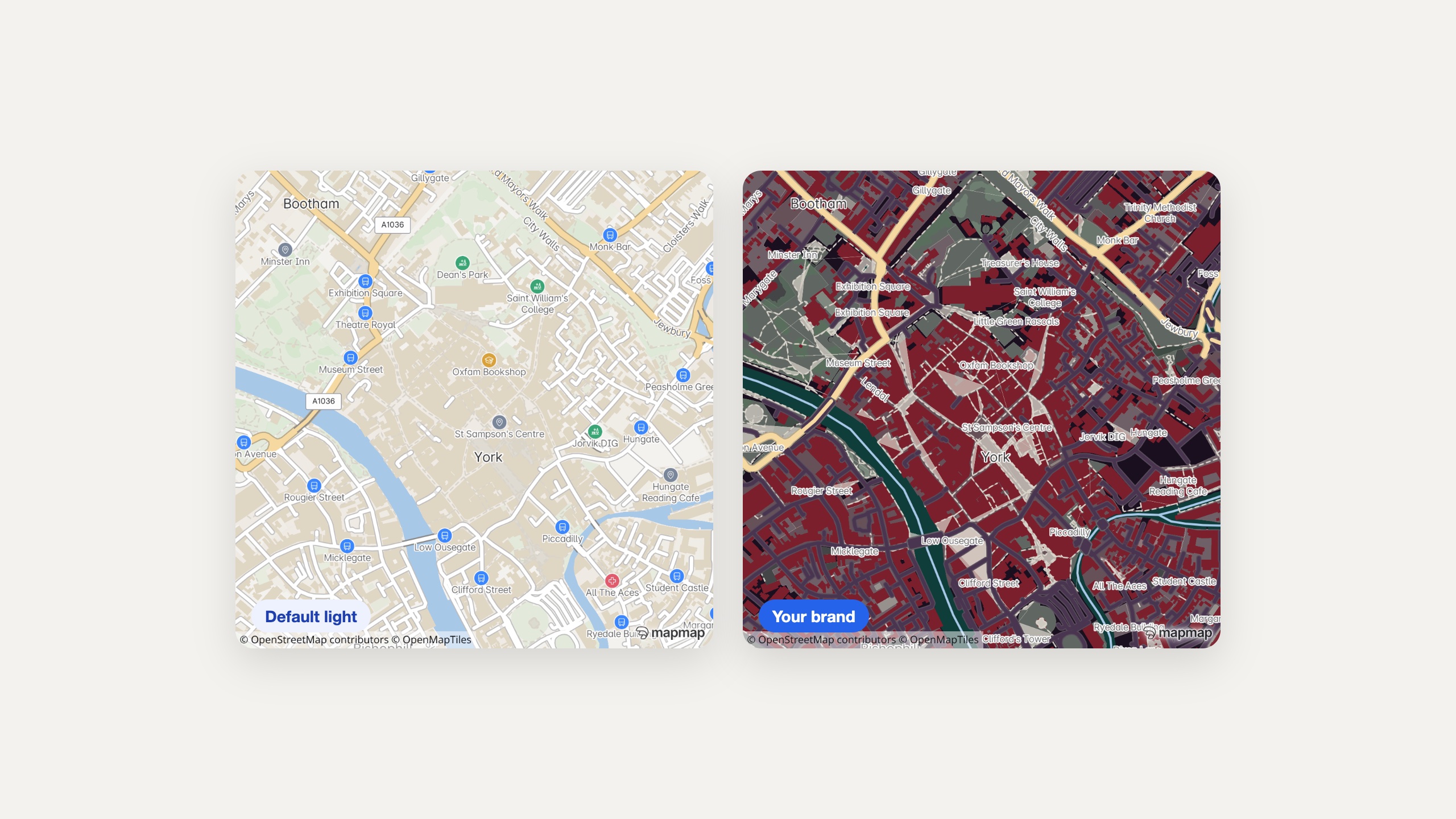
A map worthy of the brochure
The whole map restyles from a hosted style document in Studio: palette, landmarks, light presets. The map in your app can match the brand outside it.
Maps that survive the signal
Signed territory packages take tiles, search and routing fully offline for the places travel actually happens: ferries, mountains, roaming caps.
The AI trip planner, grounded
Language models invent plausible itineraries; the MCP server grounds them. Geocode the names, verify the places exist, route the day, price the detours, every step callable by the agent.
Routing covers driving, cycling, walking and scooters. There is no public-transport journey planning, and itinerary optimisation runs through a configurable solver sidecar.
Ten itineraries and your brand style.
Geocoded stops, one navigable route per day, honest detour costs, your own map style. Our AI agents build it and you try it on your own itineraries.
What you are actually being offered.
On the page, not in the small print: the scope, the deliverable, the timetable and how the money works, before you spend an hour on a call finding out.
- Who it is for
- A travel brand or itinerary product that needs a map and honest day plans rather than a list of pins.
- What is in scope
- Ten itineraries and your brand style are enough. We geocode the stops, build one navigable route per day and cost the detours honestly.
- What you get
- A working day planner on your own itineraries, with your map style, that you can put in front of your own team.
- How long
- Days rather than months, with the date agreed on the call.
- What it costs
- Scoped on the call. Routing, geocoding and place calls are metered on the published rate card.
- Next step
- Send ten real itineraries and your style, and try the planner on your own trips.
Automotive
MapMap in the vehicle: a full navigation stack you host and control.
Trucking & Logistics
The router that refuses the bridges the map records, before your driver sees them, with dispatch-grade optimisation built in.
Fleet Optimisation & Dispatch
Plan the whole shift against skills, windows, capacities and rest, then follow it without handing anyone your drivers' positions.