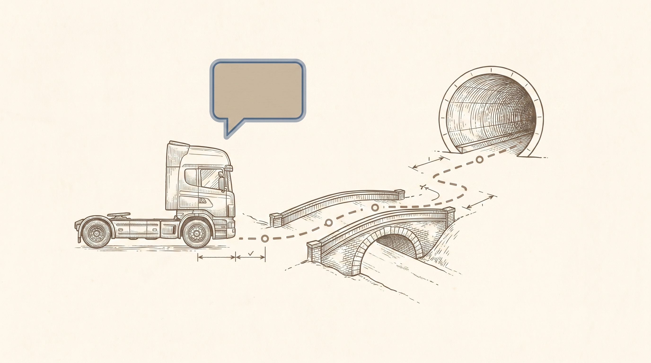
The router refuses the bridges the map records, before your driver sees them.
Height, weight, ADR and hazmat restrictions are enforced inside the route search itself, not bolted on afterwards. Ask for the rationale and get the binding constraint back.
Routing that takes your vehicle seriously.
Dimensional and dangerous-goods restrictions shape the search itself, and everything downstream of the route, from dispatch to fuel, rides the same engine.
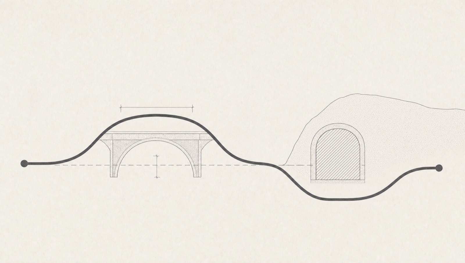
Dimensional and ADR restrictions built in
Height, weight, width, axle load and hazmat class are excluded from the search, not penalised: the router never sees the low bridge as a candidate. ADR tunnel categories A to E work the same way, and Directive 96/53/EC defaults err towards over-restriction.
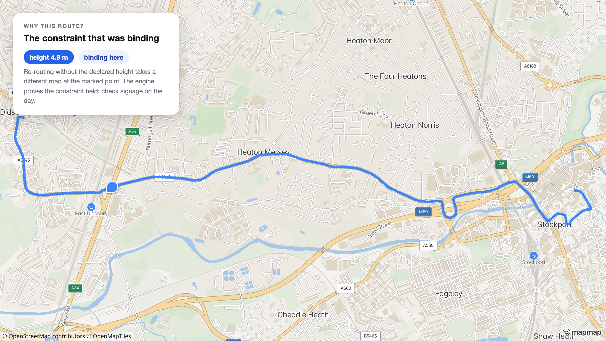
Ask why, get a rationale
Set rationale to true and the response names the binding constraint. It is a routing engine, not a compliance certificate, so check local signage on the day.
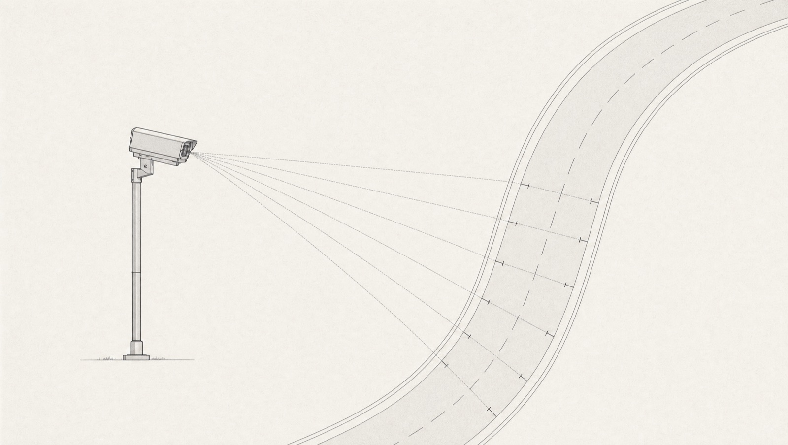
Fuel, cameras and weather along the route
Cheapest fuel along the route is ranked by real engine-computed detour, from statutory open-data price feeds with a staleness flag. Safety cameras, jurisdiction-gated, and weather ride the same search.
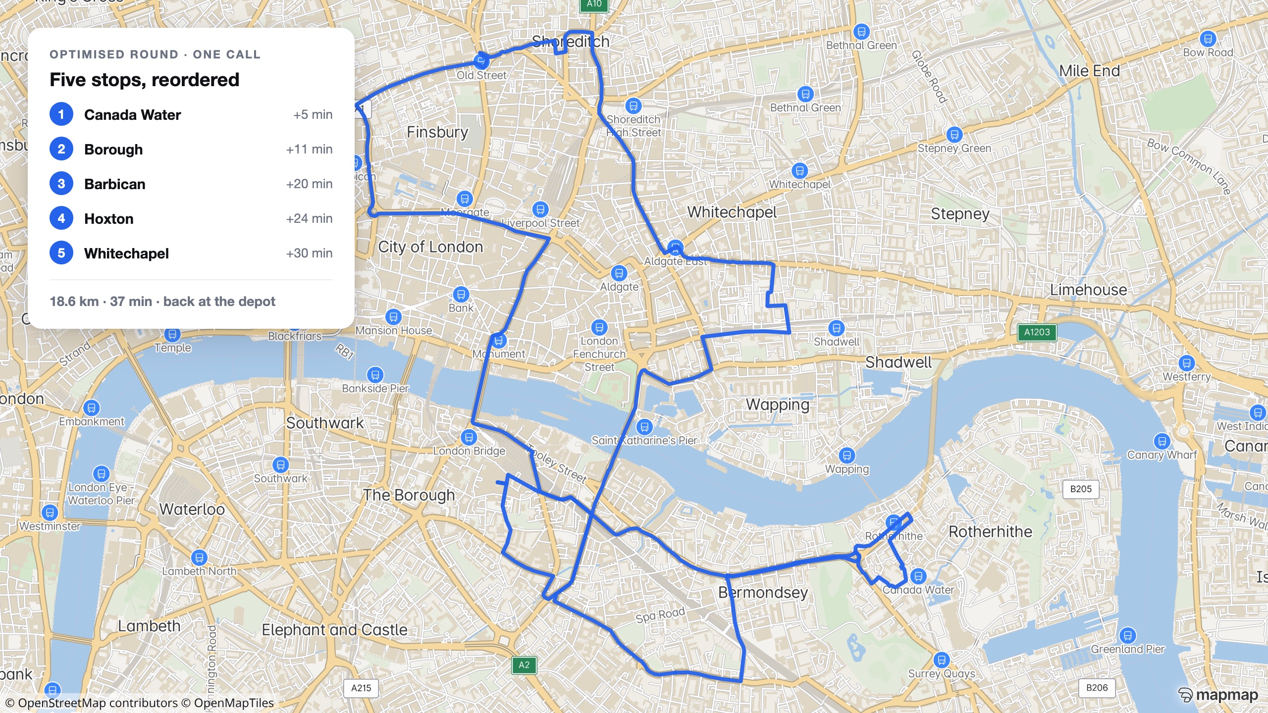
Multi-vehicle optimisation
One call plans multiple vehicles against time windows and capacities. This is a real optimised round: five London stops, 18.6 km, 37 minutes. EU drivers' hours are a single-shift approximation of EC 561/2006, a planning aid, not a tachograph replacement.
Optimisation docs →Your fleet data never leaves your network
Docker distribution, signed territory packages, and a procurement pack with an SBOM and security questionnaire. No per-vehicle metering, no telemetry leaving your network unless you send it.
Built for the TMS your engineers are writing
A hosted MCP server, one-step installs for Claude, Cursor and VS Code, and a card-free API key in one call. Routing real ADR data inside an hour, not a sales cycle.
Where the map holds no height, measure the gap instead
The router excludes the restrictions the map records, and where a structure carries no tag there is nothing to exclude, so the road comes back passable and the response looks like one where every structure was checked. Where a lidar survey covers the corridor, the gateway walks the route over that survey's own geometry instead and answers pass, fail, or an honest refusal over ground the survey did not cover, naming the limiting point, the measured headroom and the bound on it. It is a measurement from a dated survey, never a signed or legal height and never a certificate for the route.
How the measurement works →ETAs come from the routing engine's speed model, not a live-traffic feed. Ask MapMap what the road network supports, not what today's congestion is doing to it, and pair the router's rationale with your own knowledge of local restrictions before it goes near a live load.
Send us a week of real deliveries.
Send your vehicle dimensions and depots too, and our AI agents will build a working router for your fleet. They built the showcase low-bridge app the same way: four thousand UK bridges, in under a day.
What you are actually being offered.
On the page, not in the small print: the scope, the deliverable, the timetable and how the money works, before you spend an hour on a call finding out.
- Who it is for
- A fleet or 3PL whose drivers are routed by something that does not know the vehicle's height, weight or load.
- What is in scope
- You send a week of real deliveries, your vehicle dimensions and your depots. We build a router against them, with the ADR profile if you carry regulated loads.
- What you get
- A working router for your fleet on your own rounds, with the binding constraint returned for any refusal, so you can judge the refusals rather than take them on trust.
- How long
- Days rather than months. The agents built the four-thousand-bridge showcase app in under a day; a fleet router on your data is the same shape of work.
- What it costs
- Scoped on the call. Hosted API pricing is published; a self-hosted deployment is a licence, and the build is quoted against the fleet.
- Next step
- Send the week of deliveries and the vehicle list, and we will route them and show you what gets refused and why.
Automotive
MapMap in the vehicle: a full navigation stack you host and control.
Fleet Optimisation & Dispatch
Plan the whole shift against skills, windows, capacities and rest, then follow it without handing anyone your drivers' positions.
Bus & Fleet Operations
Every vehicle, on one live map, running on infrastructure you host and control.